Westbound on SR-74 with a thin pack is a hard problem. The Ortega Highway leaves almost nowhere to stop once you clear Lake Elsinore. Two lanes climb into the Santa Ana Mountains, and they wind hard. Long stretches have no real shoulder, and cell service gets patchy up there. Lake-town miles also run longer than the dash showed. That’s true after heat on Lakeshore Drive or a crawl on I-15.
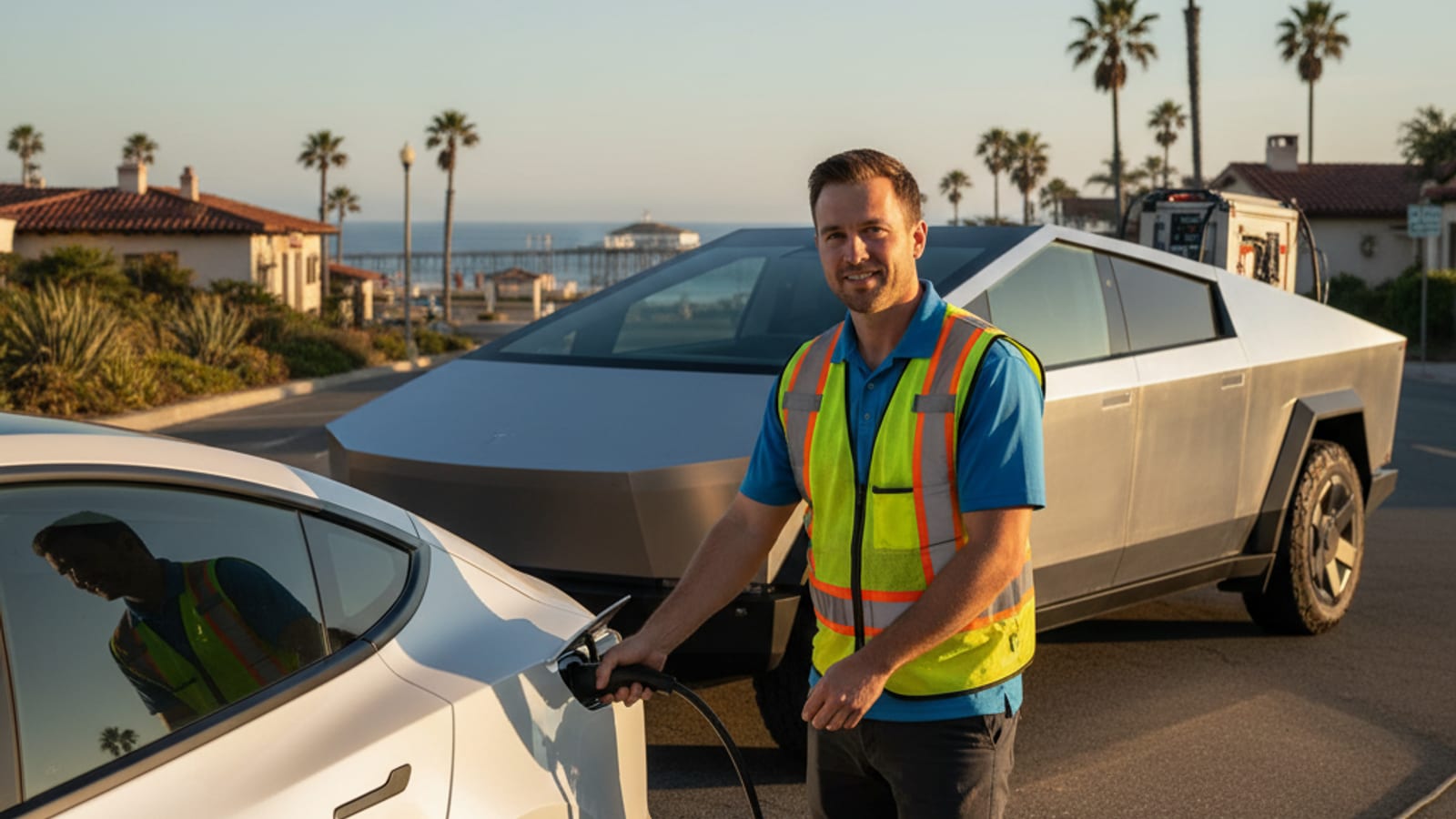
If you’re already sitting still, start with EV roadside assistance. Charge Pro IE matches stranded drivers in Lake Elsinore with independent local operators. We don’t perform the work, and we don’t own the truck. The operator quotes you before they start, then bills you directly.
An empty EV here is not a gas-can problem
A gasoline car can take a small fuel drop. An EV needs a 240-volt source at the charge port. Club roadside was built for the first case. For the second, the default is often a tow. Many EVs need a flatbed so the drive unit isn’t dragged. That still leaves you with no range to roll.
The operators we connect you with bring the charger to the bumper. That’s mobile EV charging, not a shop visit. They quote you before they plug in, and they bill you directly. Charge Pro IE sets no price and publishes no arrival window.
Why the Ortega is the road that doesn’t give you a redo
SR-74 is the only direct route from Lake Elsinore over the Santa Ana Mountains. It heads toward San Juan Capistrano on the far side of the grade. It leaves the west end of town and climbs without a pause. Lookout points sit on that grade, near the Cleveland National Forest boundary. What you don’t get is a wide, easy place to sit and wait.
The road is two lanes, and it winds hard through the mountain face. Long stretches have essentially no shoulder, so you don’t casually turn around. Traffic stacks behind you with no extra lane to hide in. A driver who starts westbound on a low number doesn’t get a redo.
Leave Historic Downtown with a thin buffer, and that climb will spend it. The Lake Elsinore Outlets are the same trap off I-15. Treat the Ortega as its own trip, not a connector you squeeze in. If you’re already stopped on that corridor, read Stalled on the Ortega near Wildomar.
Don’t walk the lane looking for a better cell bar. Stay with the car and keep your hazards on. Give the operator a lookout name, a turnout, or a pin. Westbound Ortega is a start, and a named lookout is better.
I-15, Temescal, and the through-traffic stall
The other pattern is I-15. Through-traffic between Corona and Temecula rolls through Lake Elsinore without meaning to stop. You’re not almost home in the middle of that run. A dash that looked fine in Murrieta can look worse after heat and speed. The reverse is true coming down from Corona.
Temescal Canyon north toward Corona is a long rural stretch. It’s the old highway beside the 15. It feels local, and it still spends miles. Grand Avenue, Riverside Drive, and Central Avenue are common in-town cuts. Drivers also use Railroad Canyon Road toward Canyon Lake and Perris. Those cuts add lights, climbs, and A/C time the nav didn’t price. The map looks short, but energy use doesn’t always agree in valley heat.
If a caller says they’re in 92530 or 92532, treat that as a clue. It isn’t a city limit. Say the street, since shared ZIPs spill into Wildomar, Menifee, and Perris.
Heat around the lake, and the hills that climb out of it
Lake Elsinore is a hot inland valley wrapped around the lake. It sits at the base of the Santa Ana Mountains. The lake does very little to moderate that heat. Cabin cooling and battery thermal management both pull from the pack. No verified July range-loss percent turned up, so we won’t invent one. Keep a buffer in the plan.
The city climbs steeply on both sides, into Country Club Heights and Tuscany Hills. A pin that looks close to the water can sit well above it. You spend energy going up, and regen coming down doesn’t refund the whole climb.
Census estimates put Lake Elsinore at 73,595 people in 2024. The ACS 2019-2023 count was 72,461. Land area is 38.27 square miles in Riverside County. Housing is mostly newer outside the historic lakefront core. ACS 2019-2023 puts pre-1980 housing at 13.6 percent. That newer spread means more neighborhood-to-freeway trips than downtown loops.
Lakefront days, the ballpark, and the outlets
Lakefront and boat-ramp parking means long dwell. The car sits in the sun while climate control, alarms, and cabin cameras nibble. You come back to a number that isn’t the one you parked with.
Skydive Elsinore is the same pattern. You park, you stay, you return later. The Lake Elsinore Storm and their ballpark pack the same kind of afternoon. The Lake Elsinore Outlets sit on the I-15 edge. They catch people who meant to make a short stop. None of those days are a claim about plugs on site. They’re a claim about time, heat, and a pack that sat.
For a lake-side stall, see Your EV stalled near the lake in Lake Elsinore. Broader city context is on the Lake Elsinore EV charging page.
Walker Canyon poppy blooms have produced huge traffic events. Access has been closed in bloom years. Check current access before you go. If you go, treat it as a range day. Don’t treat it as a scenic extra on a thin pack.
Neighborhoods that look close and still eat the buffer
Historic Downtown on Main Street is the compact core. Lakeland Village follows the lake’s edge. The Lakeshore Drive corridor is the long waterfront run. Summerlake, Rosetta Canyon, and Canyon Hills are newer pockets. Country Club Heights and Tuscany Hills climb fast.
From those hills, dropping into town is easy on the way down. The return climb is the part the dash underprices. Wildomar sits on the southern edge, and Canyon Lake and Perris sit east. Murrieta is down I-15, and Corona is up Temescal. Neighbors look close, and lake-town miles still run long.
A hop from Tuscany Hills to the Outlets isn’t a flat errand. A hop from Lakeland Village to Railroad Canyon isn’t either. Build the grade into the plan before you leave the driveway.
What a mobile visit actually is
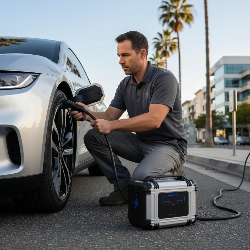
The operators we connect you with bring a 240V Level 2 source to the car. Teslas take a native NACS plug. Other EVs use a CCS or J1772 adapter. Typical charging time is 15 to 30 minutes. In that window they usually add about 10 to 20 miles of range. That’s charging time, and it’s never an arrival time.
You need enough to reach a plug you already planned to use. You don’t need a full pack on the shoulder. The operator quotes first. If you accept, they start. If you don’t, they stay put.
They also jump or replace a dead 12V on site. They handle Tesla and every major EV brand. That’s the work on the bumper. Charge Pro IE’s work is the match.
Pack empty, or 12V dead
Plenty of “won’t move” calls aren’t an empty traction battery. They’re a 12V that won’t wake the car. The small battery runs locks, computers, and the contactors that connect the high-voltage pack. If it fails, screens stay dark even with miles left in the pack.
On a Tesla, that can look like a car that won’t unlock or start. Other brands fail the same way. If nothing powers on, say that on the call. If the car is awake and the range is zero, that’s out-of-charge recovery. If the car is dark, ask about a Tesla 12V battery jump. The 12V logic is the same on a Rivian, Hyundai, Ford, or Chevy.
Don’t keep rolling on a zero estimate. You can strand in a worse place. On the Ortega, a worse place is the usual place. In town, a worse place is a live I-15 lane instead of a lot.
Club roadside versus a Level 2 stop
Traditional roadside still has a role for lockouts and some tows. For an empty EV pack, a hook is a last resort, not a charge. Flatbeds take staging room that SR-74 often doesn’t have. I-15 shoulders aren’t a calm workshop either.
A mobile charge isn’t a repair. If the operator sees a mechanical fault, they can say so. Then a tow is a different decision. Don’t tow first just because that’s the button in an old app.
Tesla’s own roadside path is a separate policy, published by Tesla. Local club coverage varies by plan. We won’t invent what your card covers. Read the policy, then decide whether you still need a Level 2 visit.
If you’re already stopped in Lake Elsinore
Get as far right as the road allows. On SR-74 that may be almost nothing. Stay with the car when the shoulder is thin, and keep your hazards on.
Give a pin, a mile marker, or a named landmark. Westbound Ortega near a lookout beats somewhere by the lake. Railroad Canyon at the 15 beats Lake Elsinore. Include make, model, and whether the car powers on. If you’re by the Storm ballpark, the Outlets, or Skydive Elsinore, say that. Those names get an operator closer to the right lot.
We pass that to an independent operator. They quote. Charge Pro IE doesn’t set the number. We don’t promise a clock. Southern California Edison serves this city for home power. That’s useful tonight if you can still roll to a driveway. It doesn’t help a car that’s already sitting on Grand Avenue.
SCE publishes a residential EV plan called TOU-D-PRIME. Confirm current pricing on SCE’s site. We won’t paste a rate that can change. No verified plug count for every local lot turned up. Check the app or the property before you count on a stall.
Wait in a safe place. On I-15, stay out of live lanes. On the Ortega, don’t walk the lane hunting for signal. If cell is weak, a text pin still helps when a bar returns.
Home charging doesn’t cover the Ortega surprise
Most owners charge at home. Newer stock outside the lakefront core often has a place to plug in. Forgetting a night, a tripped breaker, or a dark panel still happens. Then the morning trip toward Murrieta or Corona starts already thin. The Ortega westbound is the version of that mistake that has no easy undo.
Home Level 2 and roadside Level 2 use the same kind of voltage. The roadside one is shorter. It’s meant to move you, not to fill you. If the house plug is fine and the car sits dark, think 12V first.
Range math for this valley, without fake statistics
EPA range is a lab figure. Speed, heat, and elevation rewrite it. Lake Elsinore’s valley heat plus the westbound Ortega climb is the local rewrite. We won’t invent a percent for cabin A/C or for that grade. Leave a buffer. Don’t start SR-74 on a number that only works downhill and cool.
Uphill spends energy. Downhill can return some through regen. Westbound out of town is uphill. That’s the direction that doesn’t forgive a thin pack. I-15 through-traffic adds speed and heat. Lakefront dwell adds time. Hillsides add the return climb.
The DOE Alternative Fuels Data Center covers range factors in general: afdc.energy.gov. Use it for physics. Don’t treat it as a local stall map.
How the match works, start to quote
You call and give location and vehicle. We connect you with an operator in the network. They quote the visit. If you agree, they bring Level 2 gear and the right inlet adapter. On site they sort pack versus 12V. They charge, or they jump or replace the 12V. You roll with enough range to finish the trip you already had. They bill you. Charge Pro IE isn’t on that invoice.
If the quote isn’t right for you, you can decline. Nobody starts until you accept. That’s the point of a referral line. We’re not hiding a fleet behind a brand name.
Habits that keep you off SR-74 at 4 percent
Plug in on a schedule, not when the number looks scary. Check range against the real route, including the climb. Budget SR-74 as its own trip toward south Orange County. Don’t treat Corona or Temecula as a free roll on I-15.
Confirm Walker Canyon access before poppy season driving. Boat-ramp days and Storm game days are long sits. Leave the lot with more than a thin maybe. From Tuscany Hills or Country Club Heights, count the return climb. Don’t count only the drop into town. From Lakeland Village, count Lakeshore heat after a full afternoon.
Frequently asked questions
What EVs can an operator help in Lake Elsinore?
Operators in the network bring a native NACS plug for Tesla. They carry CCS or J1772 adapters for other EVs. That covers Tesla and every major EV brand on the call. Confirm your inlet type when they quote, so the adapter matches the car.
How much range does a roadside Level 2 visit add?
Typical charging time is 15 to 30 minutes. In that window, operators usually add about 10 to 20 miles. That’s charging time, not a promise of when someone arrives. You want enough to reach your next planned plug.
Does Charge Pro IE own the truck that shows up?
No, Charge Pro IE is a referral line. We match stranded drivers with independent local mobile rescue operators. We hold no license, own no equipment, and set no prices. The operator quotes you, then bills you directly.
When you’re ready to call
If the pack is gone in Lake Elsinore, don’t start the Ortega on hope. Call (909) 250-2881 and we’ll match you with an operator. They can quote a Level 2 visit or a 12V fix. That’s the number for Charge Pro IE. It isn’t a promise of arrival. It’s how you reach a person who can connect you.